Ordinance
of Land
In 1785 the U.S. passed the Land Ordinance Act, which established the square grid layout of U.S. states, counties, and cities. The idea derives from Thomas Jefferson’s calculations on how much land a family needs to sustain a modest standard of living. Jefferson simply extrapolated the calculated area across the whole U.S.. Rather than understanding space as a geographical condition, Jefferson reinstated it as an abstract concept that can be calculated and then applied to the physical world. This standard has not only fundamentally shaped the American landscape, but also laid the foundation for a completely new way of understanding and dealing with reality.
These abstract and rational concepts became the very foundation of our modern, industrialized world. From bricks over shipping containers to the digital pixel. The modularized and standardized systems we’ve created allow for the computable and scalable management of the world.

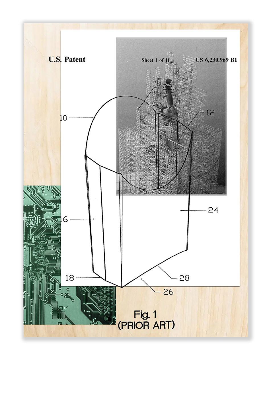
In his body of work, “Ordinance of Land”, Max Ernst Stockburger explores the visual history of the “standard”. Due to its unique founding story, the United States serve as a visual and conceptual proxy for the genesis of this history.
drag & drop the individual parts to create new frame combinations